Welcome to the GLOBUS_mapped initiative.
We are dedicated to safeguarding cultural heritage through digital documentation.
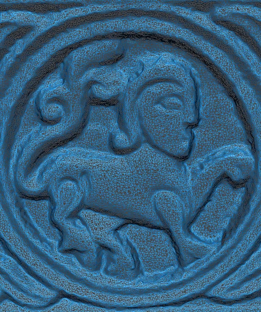
By combining 3D photogrammetry, UAS aerial surveys, and GIS, we capture sites, monuments, and landscapes with precision, producing faithful 3D models and virtual reconstructions of heritage buildings, archaeological sites and terrains.